1917-1918
55°03’20.0″N 130°08’41.0″W
- Established in 1917 at Pearse Canal near the BC-Alaska border by Merril DesBrisay
- Operated for only one year
- Property reverted to the Crown in 1939

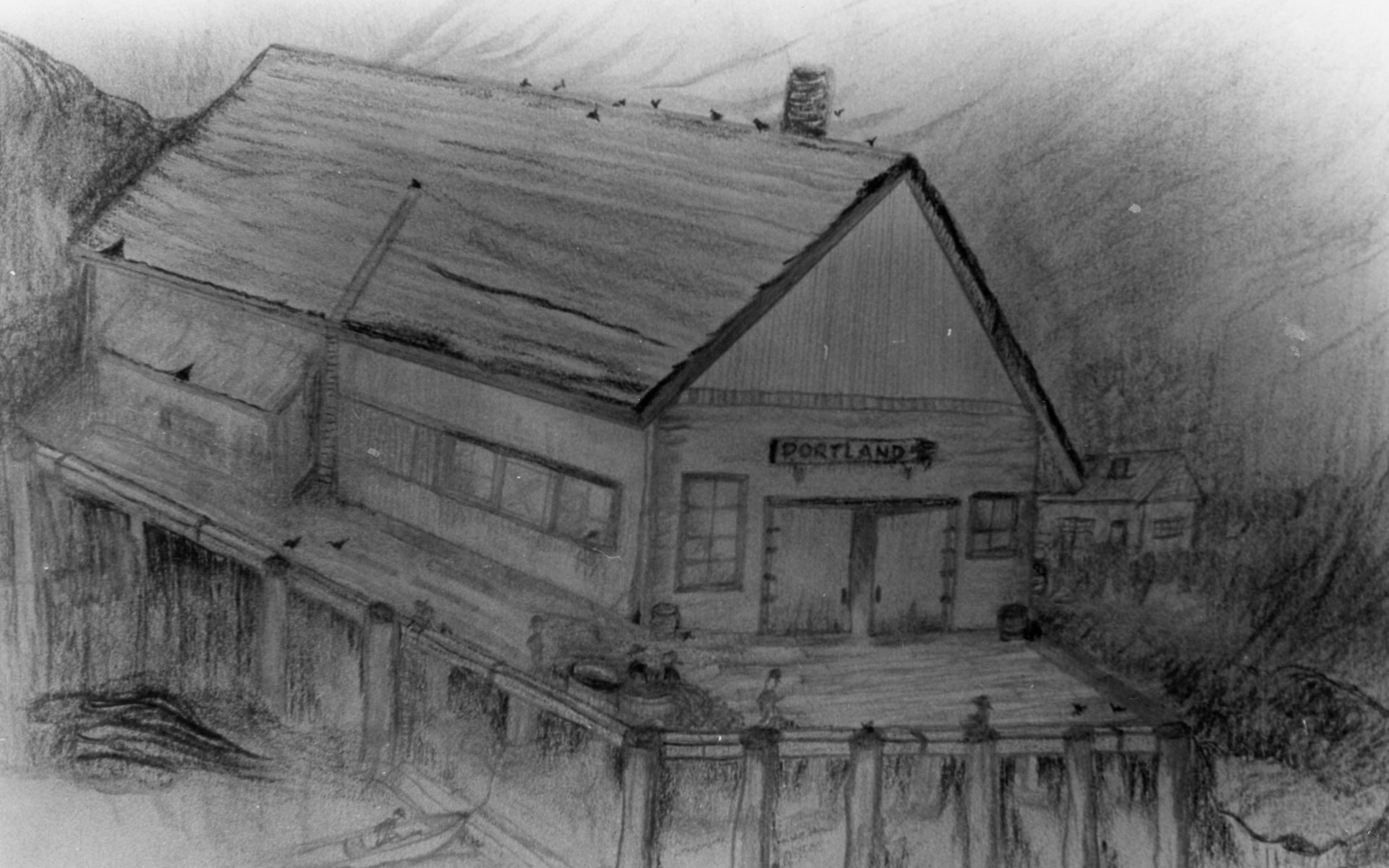
Charcoal sketch of the Portland Cannery by Gladys Blyth. Courtesy of the North Pacific Cannery, P984.141.1